Up to now we’ve confined ourselves to working with third party data or creating and printing simple polygon or line drawings.
Map making comes into its own when using databases. When using a third party data set we found that we could style a map according to different columns in the database.
In the next set of lessons we are going to learn about how to work with databases and create and edit a new database.
Databases are regarded as Advanced.
The database simply holds pieces of data in rows and columns, like an excel spreadsheet. These data are not normally graphical nor spatial but describe your data set. They are often known as attributes and can be linked to a feature on the map (a polygon, line or point) for display purposes or for interrogation using a query tool – or even excel. Attribute data needs to be collected systematically and correctly to be useful.
If you are working with a third party data set and NOT using the native .dra Map Maker format, ALL the information used for styling a map will be contained in a database, which you will need to link to.
HOWEVER basic attribute data – styles (numbers) and labels (text) – are handled differently in Map Maker.
If you are using Map Maker to create linework, then the style numbers and the labels are stored in the .dra file, which is created when you save a layer. The fact that you can create another database with new information for styling purposes or with specific display labels can be a bit confusing. You can even extract the information from the .dra file and then use that to build your database.
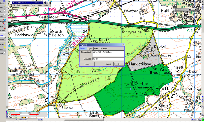
When you first digitised a line or a polygon, you had the option to enter / edit the display label. These can be left as temporary identifiers and edited later. Alternatively we can attach a database and use the data from the database for styles & labels.