Exercise 1.1 Open Map Maker
Let’s consolidate with some practical exercises.
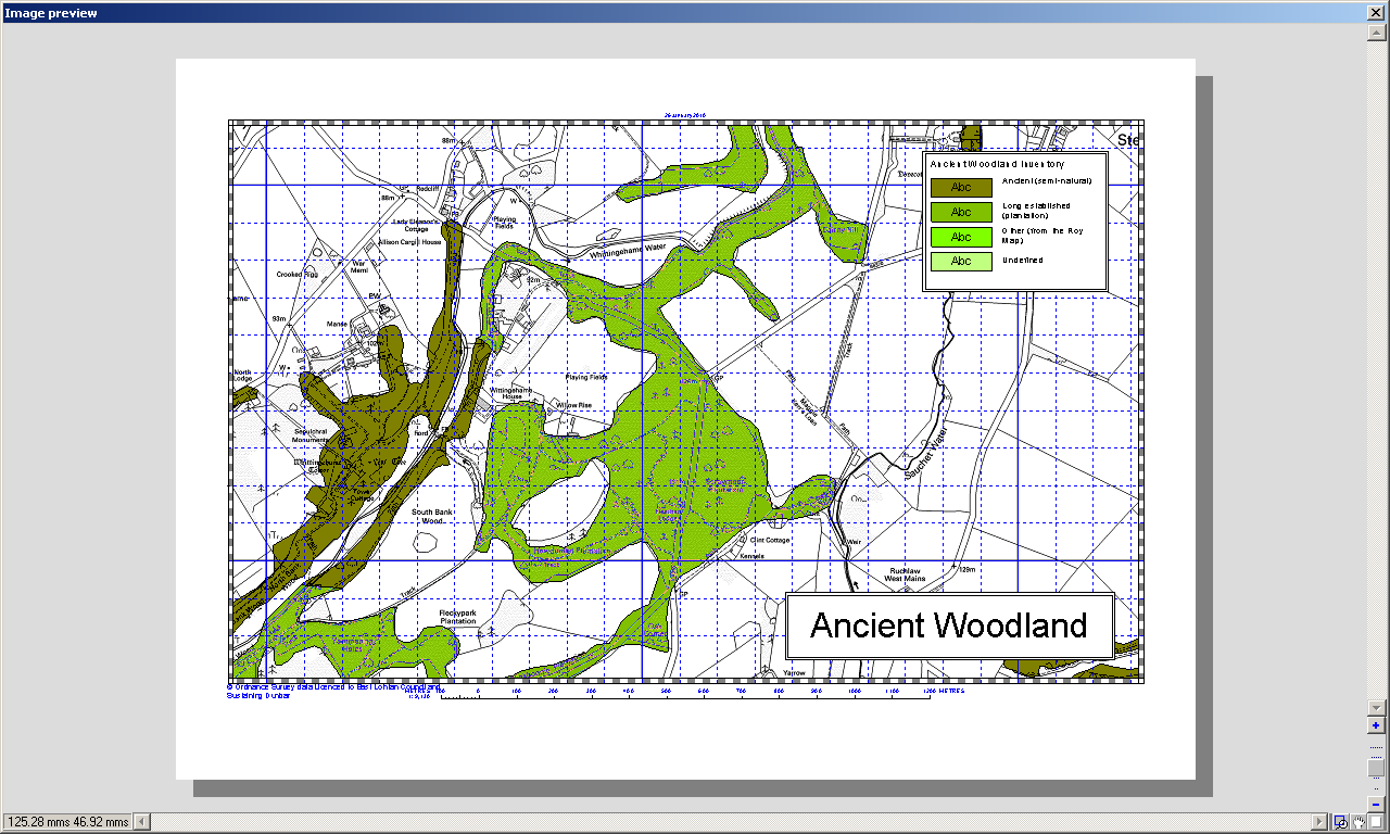
The overall task is to display Ancient Woodland boundaries over a suitable OS map, add a map key, create a legend and title and print it.
This exercise is for complete beginners and should not be too challenging unless you if you are unfamiliar with Windows file management or configuring multi-level tabbed dialogue boxes.
You’ll learn about:
- the Project Manager
- how to save project files
- basic layer manipulation
- linking to a database
- changing the map style / key
- creating a project legend
- creating “map furniture”
- basic printing
So lets start right away.
Start Map Maker. If Map Maker is already open, close it down and restart it.
The screen should show a 1:50k view of Dunbar and District.