Which base map to use?
The best and most up to date digital maps are a premium service but perfectly suitable for light research uses, as a very generous initial £1k worth of views free, which renews monthly, is available. That is a good £12k annually, which is free of charges.
The digital services give the ability to zoom in to around 1:10,000 scale and reveal field boundaries and contours available on the 1:25,000 paper map. Using these services in combination with grid reference finding applications and publicly available digital maps provided by the National Library of Scotland, it would be quite possible to gather data simply using a spreadsheet or table in a word processor. For example a bare bones single field report:
| Field No. | Grid Ref | Field Name | Name derivation, any known previous names, sources details and other observations |
| 1 | NT52376/72763 | Acredales | Field 1 was created by combining fields A and B, the name of field B remaining in use for the combined field. |
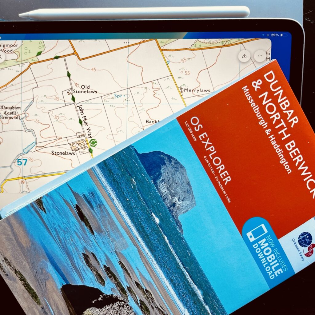
While there are similarities with the paper 1:25,000 map, the premium digital product / service is not the same as the 1:25,000 paper version. The paper map I purchased May 2025 looks to be dated around the 2008 period (although it is actually marked copyright 2015.)
This should not really a huge problem, but a little confusing, and the version available for download is much less flexible than I had hoped. First up, it looks like a later date – 2015 and the download is only available for the OS app, which is available for iphone and ipad.
The free app download that comes with the paper map costs £12 and the same iconic high quality OS mapping. Cheap enough for all reseaerchers to buy one for themselves1.
In conclusion, using the slightly dated 1:25,000 paper map version would surely be satisfactory for the project and everyone would be working from the same source.
Optionally the download has other “field” uses, otherwise only available if you buy the app service, which is over £70/annually.
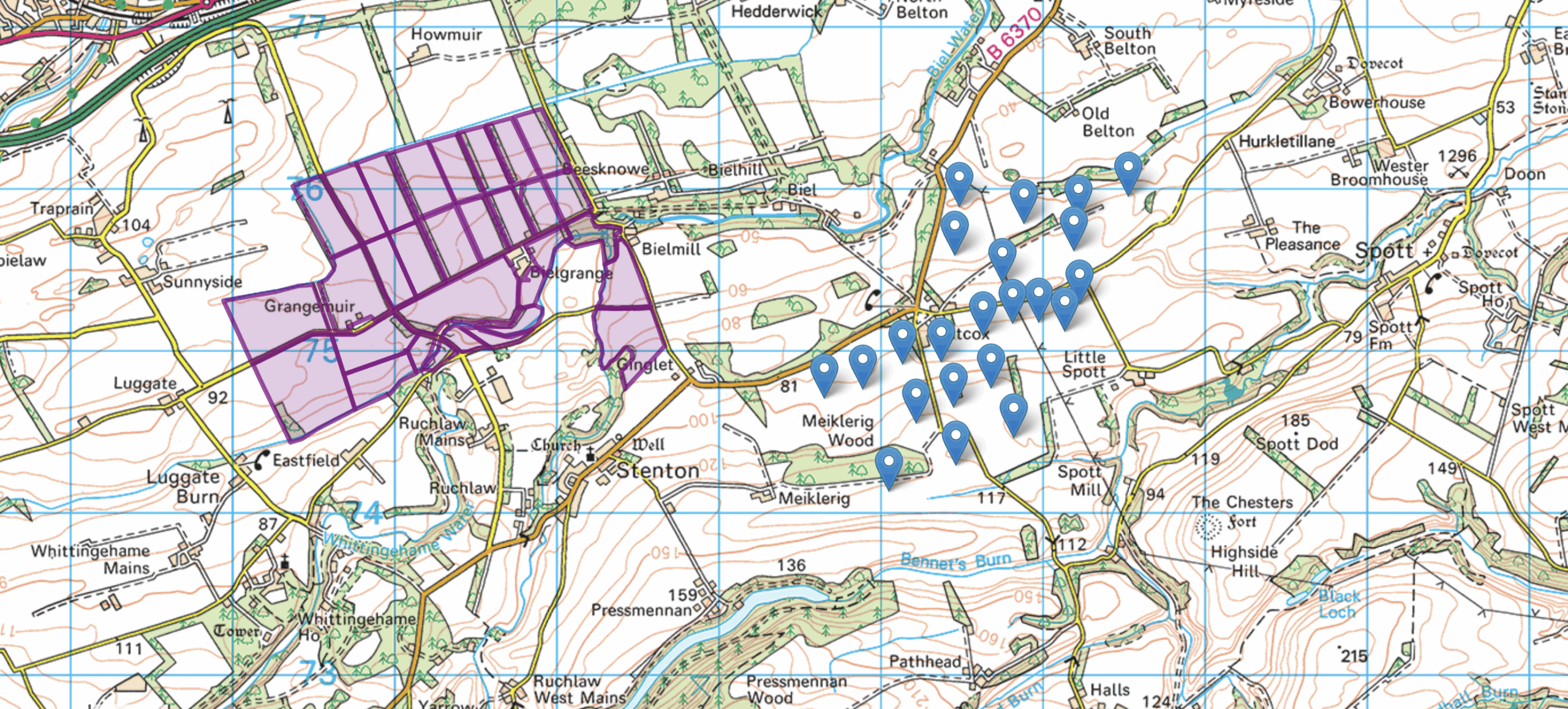
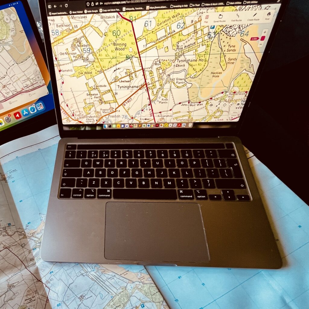
The following presentations are for illustration only to show you the premium map data in action.
In the first we are using a text file with a simple list of field data created in Excel (see below). It uses a WordPress plugin, with fairly limited capabilities and considerable setup cost (in time). Download the .txt file to see what is needed.
In the second presentation we have taken snapshots of the data stored in the QGIS mapping software (previously digitised) and saved them separately as “keyhole markup” files (kml), as this is another readable format in the Osmap plugin.
https://ourlocality.org/fieldnames/files/2025/05/Tyninghame.kml
If this is the direction to go in (labour intesive) one would a) need to agree a preferred excel format; and b) run a training workshop session, to ensure all are comfy using the Excel; and c) ensuring grid refs are captured systematically. This approach would however avoid having to digitise boundaries, which may or may on be available.


- If needed the full OS maps app can also be purchased for £33/year (it covers the whole of GB and beyond) but this uses the most up to date mapping – as far as I can see post 2024 too. Each person would install it on their phone, ipad via the app. ↩︎