Originally a free standing website, Better Rural Buses was ported over to Ourlocality.org when the domain was due to expire, to keep the project as a demonstration. Now it is only available as fragments via the Web Archive project.
Functionally, the site was intended to allow anyone in the street (or a field for that matter – that is what you get in rural areas) and from their desk, assess and rate, and also comment on and upload pictures of their local bus stop to provide a report on its condition. Useful info was brought in dynamically with web magic, including e.g. Next Bus info and directions. This was a crowd sourcing project – a bit like Fix My Street – but without a budget built over a weekend or so.
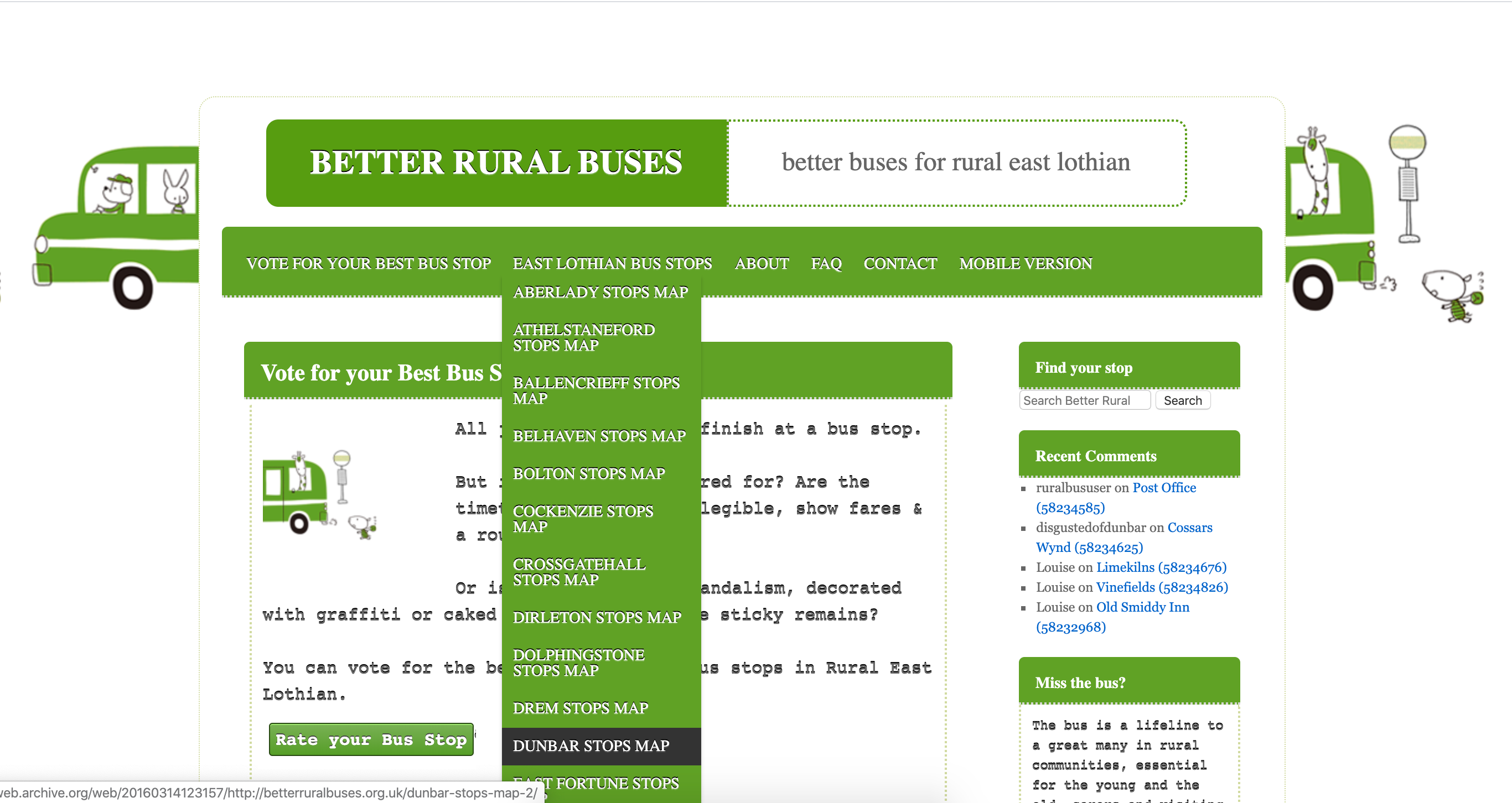
Bus stops pages were created using a custom post type in WordPress, using the plugin Toolset and the basic post templates or views were created at the same time. The post type had 2 custom taxonomies, location and stop type, which allowed one to sort the hail and ride stops from the standard ones, and obviously pull together information by location.


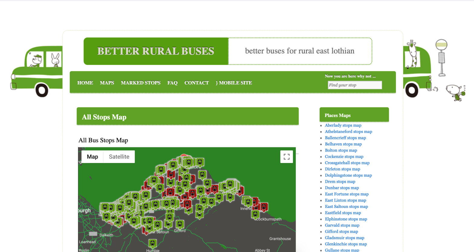
The bus stop map pages were constructed using mashups on Mappress (a much earlier version, but using their pro tools which opened up the possibility of creating simple map based queries). The data were downloaded from the bus stop database, parsed and imported using a tool called TurboCSV, from the same stable as Mappress, which made light work of an otherwise tedious import of hundreds, or was it thousands of bus stops.
The data download was obtained from the official bus stop database, which is employed by all bus apps these days. The application did not use a live service through the stop API, there was little point at the time as this was a 1 week project to build and the project would be closed in a matter of months. Still we did manage to integrate live bus information from a variety of bus apps and had a mobile version, so it felt like a proper app (of apps) even on a primitive smart phone, indeed I’m not sure I even had one then.
While map content and travel information was created on the fly, using Google and travel-line services, the page content and structure had been previously imported and made to look nice using WP UI, which I see is no longer available from the plugin repository.
In theory the surveys and data upload could have been conducted entirely in the field. The primary data were substantially collated by a field worker in an earlier phase of the project and pump primed the project prior to release.
During the import, each stop was automatically geolocated using lat/long. Additional information was pulled together in a systematic way, first concatenating fields in a spreadsheet, and creating the links to the bus apps, which worked by creating a readable url.
That stopped working eventually when the bus apps changed the way they constructed the url, which is why we decommissioned this demo.
Mashups of maps were based on Location, but we included extended / faceted search and a few other refinements, which meant that this unfunded project was executed in a matter of days rather than weeks and looked like it had a really big budget behind it.
We styled the map in the usual way with a bit of json, to make it look a little bit different. We even found some nice stop icons too, which don’t look quite so nice today.
The project was developed for relbus.org.uk, when I was working and volunteering for Sustaining Dunbar, doing among other things research on public transport. As a volunteer I was responding to transport consultations and coordinating communications and campaigns (including the successful East Lothian Bus Forum and Bus Passenger Charter) for local bus services, which to this day I have never ever used. Being an immigrant one often feels they are second class citizens, so why would you want to travel third class?