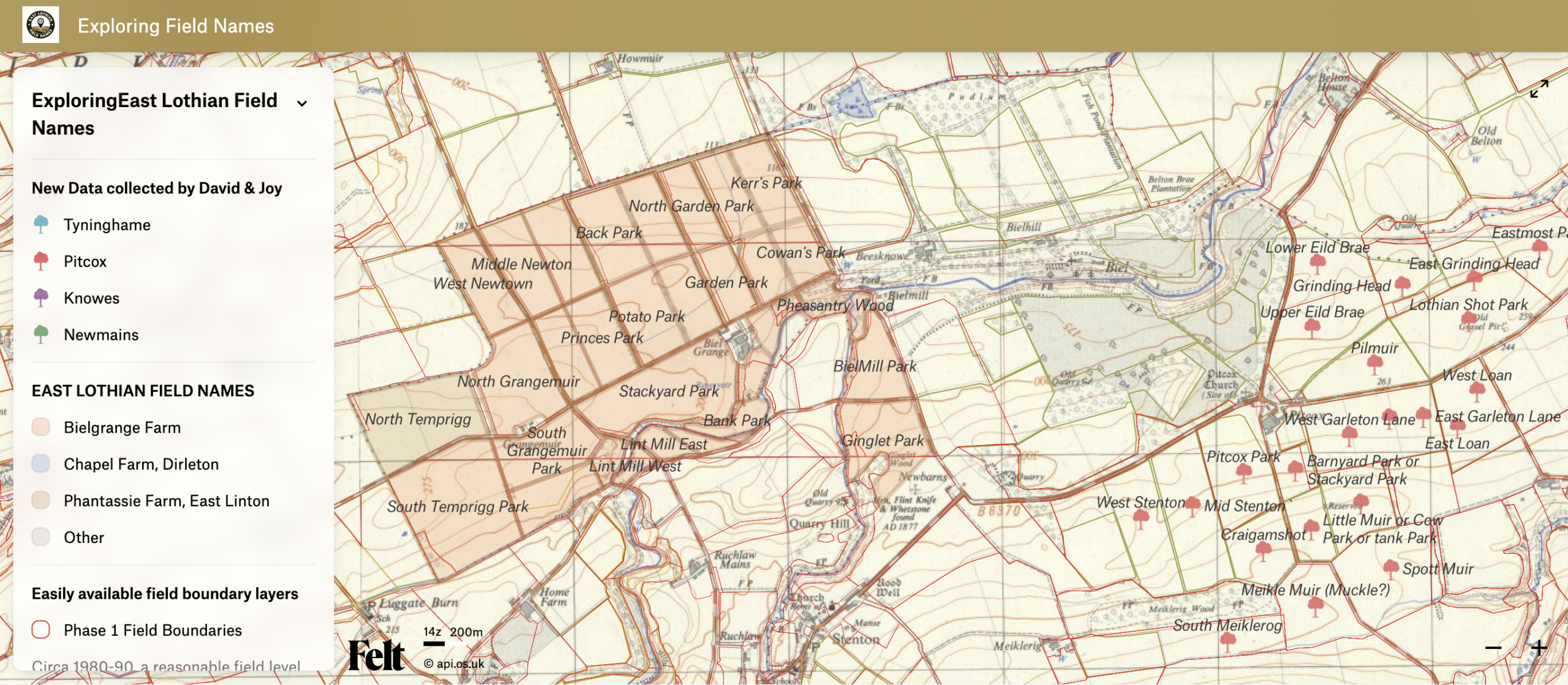
In this map we bring together the initial experiments, using data digitised in QGIS and map layers that might help inform the method, be useful to establish field boundaries, indeed whether it was possible to avoid detailed digitising perhaps and use existing vector data sets or just employ simple point data.
Exploring East Lothian Field Names