Sustaining Dunbar developed a map making facility, initially to access local environmental and resource data and digital maps to help them develop a Local Resilience Action Plan.
Groups in the Dunbar and District Ward were welcome to use the facility.
On this site, you can get a quick view of how the facility worked. For the duration of the project, and a few years after you could access a number of useful datasets (under East Lothian Council’s contractor licence) and get a training tutorial, designed to get you started and show you how to view map information and undertake basic queries.
Several different computer programs were available, which do not require prior map making skills, but did require some confidence in computers and understanding of geographic data (graduate level).
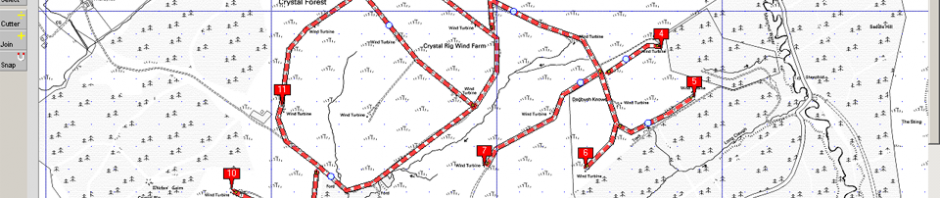
Map Maker Pro was used for map making, quite powerful but no longer available. We setup the basics for anyone to navigate and view a range of map resources at different scales. Making maps from scratch with professional looking keys for printing can be quite involved, and requires discipline and regular practice. Not for the impatient or anyone short of time. But that was then.
Now Quantum or Q-GIS is also available and importantly stable. This unlocks the ability to generate maps using dynamic data from a range of live WMS/WFS services, but also deeper analyses, even create profiles from DTM data and a host of geoprocessing tools to manage raster (image) and vector (points, lines and polygon) files and much more. This software is now preferred, as it is open source and is kept up to date.
New data sets are increasingly available under more liberal licensing regimes.
To get help with data interpretation and analysis, online mapping tools and more contact Philip Immirzi, who is usually available for short or longer consultancies for a reasonable fee.