Print a Basic OS Map

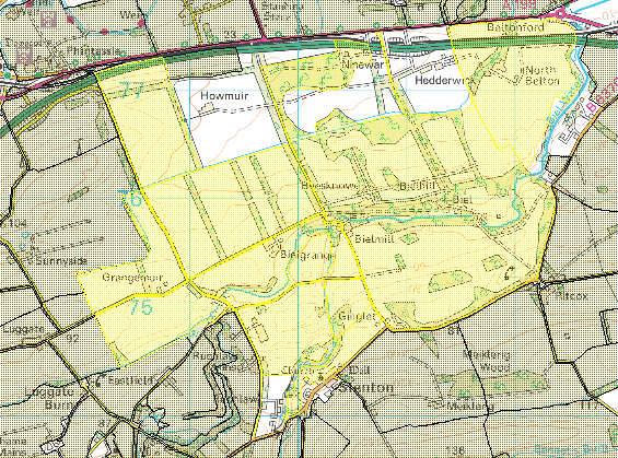
So you need a basic map to take on a site visit?

If you need an Ordnance Survey Map, you can use the mapping facility to get a detailed map at the following scales

  • 1:50,000
  • 1:25,000
  • 1:10,00
  • 1:2,500

While Arc Explorer Java is really good for viewing and exploring data, it is very poor for printing.

Map Maker on the other hand will ensure good quality prints.

Load up the All Maps project and zoom into the area you wish to print, Map Maker should automatically pick the map at a scale suitable for showing on screen.

Adjust your view and simply FILE > PRINT

Quick Print is just that, remember only to set the orientation of your map.  Limitation: there is no preview and the OS licence number will be missing.

Scaled Print opens up options to use borders, select a variety of output sizes up to A0, use a pre-made template, and also preview your artful creation.

Options:

TROUBLESHOOTING

You pressed print and nothing happened? Check you sent it to the correct printer or set your default printer.

You want the relevant OS key to print out as a legend? It can be done, but that’s another article.

Asking Questions: Querying Data

Arc Explorer Java can help with easy questions like

  • What data is in that polygon/s?
  • Who owns this land?
  • What is the land use?
  • What is in my circle/square/polygon of interest?
  • What is in this 100m buffer zone around a proposed development?

First off note the selection icons in the top menu.

If the layer has attributes that can be queried, then these buttons will be active (as opposed to greyed out).

What do the buttons do?  The info button – useful for pointing and clicking – just make sure you are querying the correct layer.  If you don’t see the info button or you get the wrong answer, check the correct layer is selected.

search

Find – will search an active layer (case-sensitive); highlight the result and the pan or zoom to your selection.

Map tips – handy if you want hide the labels but hover and get some site details

Clear Selection – does just that

Selection tool – allows selections by rectangle, line or polygon

Buffer – creates cool buffers around a selection, though these cannot be saved

Attributes – are the contents of data fields of the layer

Working with Arc GIS Layers

Layer Properties exposes powerful features of Arc Explorer.

From here you can:

  • change colour fills and styles of your polygons
  • line colours and styles
  • add labels
  • create automatic keys based on any selected field
  • make layers appear and disappear above / below certain scales (NB easy to lose layers, so take care)

When experimenting with changes always use the APPLY button first, especially if you are changing scale appearance/disappearance

Cut & paste a map into powerpoint or the web

There are cleverer ways, but this is quick and easy:

  • first navigate to a map view you require, include as much as you need and no more
  • it doesn’t matter what software you use to view, but it must look exactly as you want it to appear in your copy
  • using the Snipping Tool, available from the Start Menu to crop the area you want to copy
  • once selected it should appear in a window from where so you can copy and paste or save it
  • to use it in a web page, save it as a png file – use a memorable name – and upload it
  • NB If it doesn’t look good on screen, the copy you make won’t look good either
  • Tips: use the correct scale of map;  clip images to the right size – bigger for presentations, smaller for web publishing; don’t stretch your images.